COST EFFECTIVE
-A mapping UAV provides the ideal SOLUTION; they are cheaper to operate, can be instantly deployed, and can be programmed pre-flight to follow a route via designated waypoints.
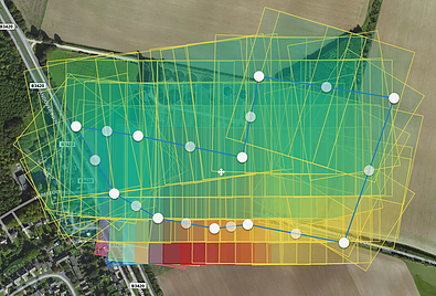
-In addition to this, the data CAPTURED can be easily input in GIS software, allowing the swift implementation of the INFORMATION